Shipping quote request
We’ll calculate the shipping price as soon as getting your request.
Shipping quote request
We’ll calculate the shipping price as soon as getting your request.
You May Also Like
More from this Dealer
Early 17th Century Map of Wales, 1619

Map of the Oilfields in the Near East, 1955

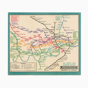
Last Pre-Beck Pocket Map of the London Underground, 1930s
Early 18th Century Map of the British Isles by N. De Fer, 1705

Prospect of Bristol, 1600s

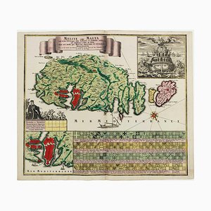
18th Century Map Celebrating the Knights of Malta
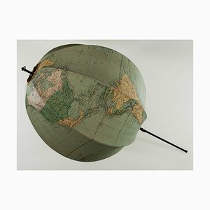
A Collapsable Globe, 1920s
After Dutch Master, Still Lifes, Mezzotints, Set of 2

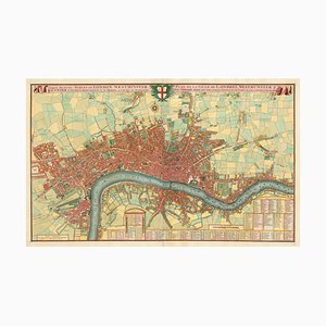
Large-Scale Survey of London Map with Marylebone & St Pancras

George Stubbs, Illustration That Introduced the Kangaroo to the British Public, 1700s, Print

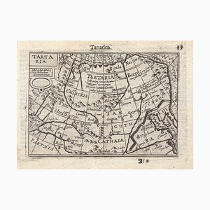
16th Century Miniature Map of Tartary by B. Langenes, 1599
Antique Nova et Accuratissima Totius Terrarum Orbis Tabula Map by Johannes Blaeu, 1662
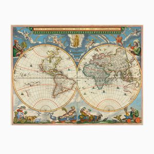
Diagram of the Seasons

Pictorial Map of South Africa from the Second World War, 1940s

Pirate Edition of Morden & Leas Map of London
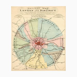
London's Railway Network, Late 19th Century
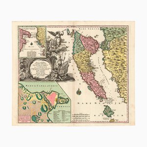
18th Century Map of Corfu in Original Colour
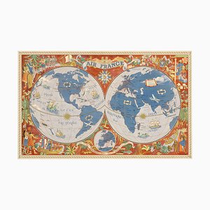
Air France Poster Map of the World in a Double Hemisphere, 1950s
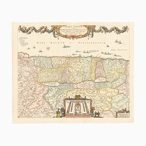
17th Century Map of the Holy Land Terra Sancta
A Birds-Eye View of Paris

More Products


Get in Touch
Make An Offer
We noticed you are new to Pamono!
Please accept the Terms & Conditions and Privacy Policy
Get in Touch
Make An Offer
Almost There!
To follow your conversation on the platform, please complete the registration. To proceed with your offer on the platform, please complete the registration.Successful
Thanks for your inquiry, someone from our team will be in touch shortly
If you are a Design Professional, please apply here to get the benefits of the Pamono Trade Program