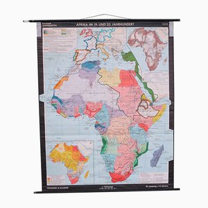
School Wall Map of Africa by Leisering & Schulze for Velhagen & Klasing, 1950s
¥71,767
You are now following Charts. You can manage alerts in your account settings.
You have unfollowed Charts.
School Wall Map of Africa by Leisering & Schulze for Velhagen & Klasing, 1950s
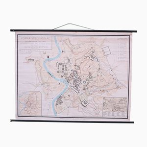
School Wall Map of Old Rome from Instituto Geografico de Agostini Nora, 1950s
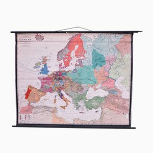
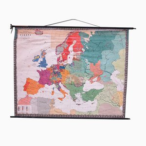
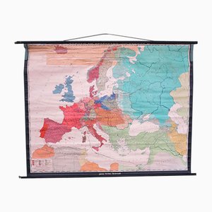
School Wall Map of Europe by W. Leisering for Velhagen & Klasing, 1950s
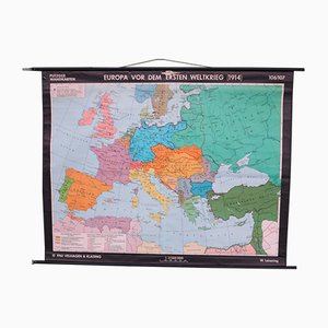
School Wall Map of Europe by Prof. Dr. Schmidt for Perthas Gotha, 1950s
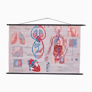
School Wall Map of the Human Body by Prof. Dr. med. W. Blotevogel for Hagemann Düsseldorf, 1950s
School Wall Map of Europe from Velhagen & Klasing, 1950s
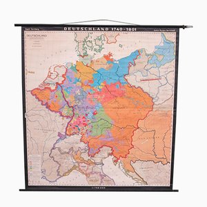
School Wall Map of Germany by Haach Hertzburg for Perthes Darmstadt, 1950s
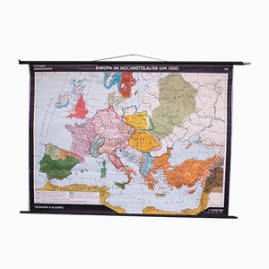
School Wall Map of Central Europe by Dr. W. Trillmich for Westermann Verlag, 1960s

School Wall Map of Europe by Prof. Dr. M. G. Schmidt for Perthas Gotha, 1950s
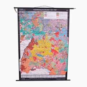
School Wall Map of South West Germany by Putzger for Velhagen & Klasing, 1950s
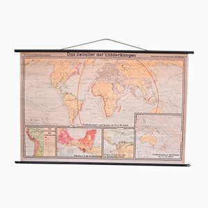
School Wall World Map by Haferland & Trillmich for Westermann, 1950s
Vintage College World Map by Perthes Darmstadt, 1950s
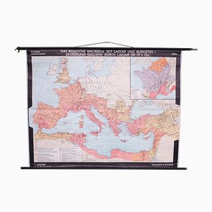
School Wall Map of the Roman Empire by Putzger for Velhagen & Klasing, 1950s
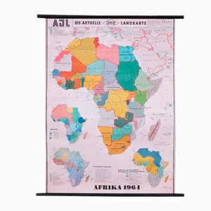
School Wall Map of Africa by Dr. E. Kremling for JRO, 1964
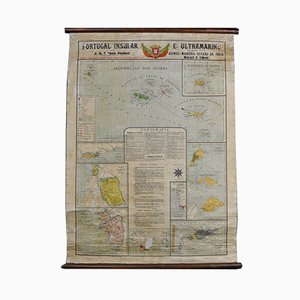
Map of Portugal and Overseas, 1960s
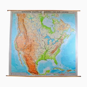
Map of United States by Georg Westermann, 1966
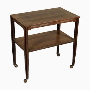
Italian Rosewood Veneer Service Cart, 1960s
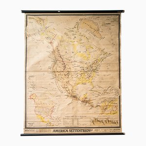
Mid-Century French Geographical America Map
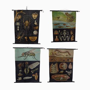
Austrian Educational Charts from Jung, Koch & Quentell, 1960s, Set of 4
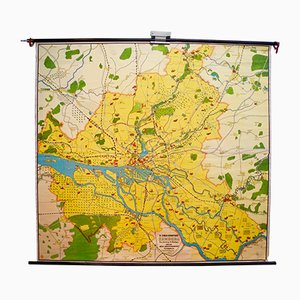
Vintage Map of Hamburg by Dr. Riediger for Verlag JEHA Lehrmittelanstalt, 1960s
Trending