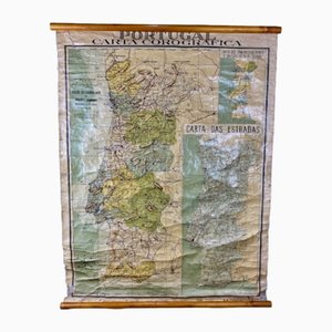
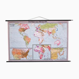
Chorographic Map of Portugal, 1942
Price:
¥18,131
Regular Price:
¥36,262
Sale
You are now following Charts. You can manage alerts in your account settings.
You have unfollowed Charts.
Chorographic Map of Portugal, 1942
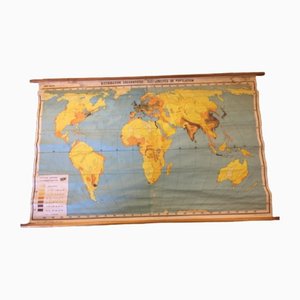
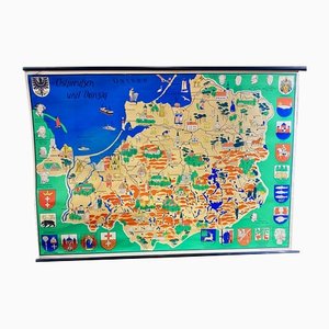
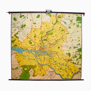
Population Density Map, 1960s
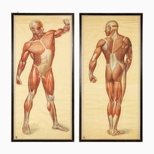
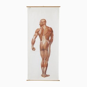
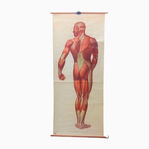
Anatomical Human Muscular Structure Charts by Tanck & Wagelin, 1950, Set of 2
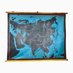
Beech Asia Map, 1940s
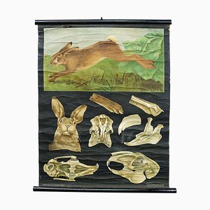
Hare Rabbit Countrylife Wall ChartJung Koch Quentell, 1960s
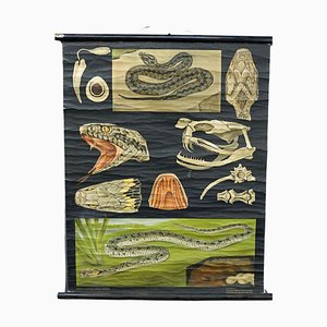
Snake Serpent Wall Chart from Jung Koch Quentell, 1960s
Large Anatomical Wall Chart from Deutsche Hygiene Museum, Dresden, 1992
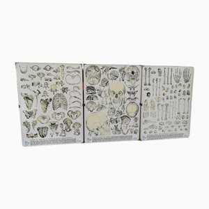
Vintage Skeleton Prints, 1960s, Set of 3
Vintage School Wall Chart, 1950s
Maikchafer Botanical School Chart from Jung, Koch & Quentell for Hagemann Düsseldorf, 1970s

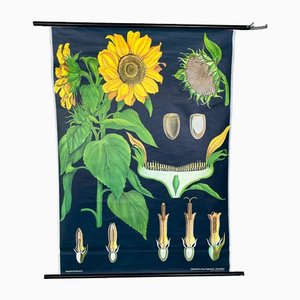
Sunflower Botanical Wall Chart by Jung, Koch & Quentell for Hagemann Düsseldorf, 1973
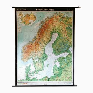
Mid-Century Relief Wall Card of Scandinavia by Wenschow for List Verlag, 1960s
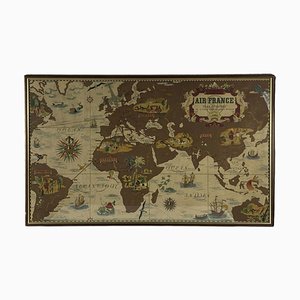
Air France Nova and Vetera Poster Map by Lucien Boucher, Paris, France, 1939
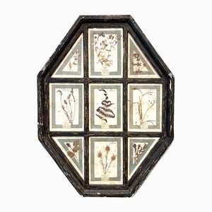
Vintage Herbarium in Glazed Wooden Frames, Florence, 1941
Vintage German Map
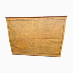
School Map of the Soviet Union, 1960s
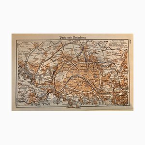
Map of Paris, 1937
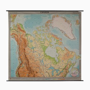
Vintage German Map of Canada
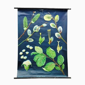
Pussy Willow Salix Caprea Wall Chart Picture Poster by Jung Koch Quentell
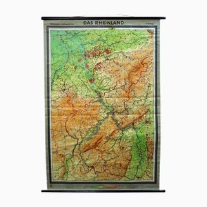
Vintage German Rhineland Map Rollable Wall Chart Poster Print
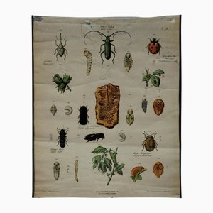
Old Vintage Beetles Insects Overview Wall Chart Poster
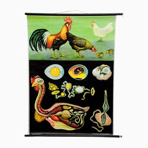
Vintage Country Style Chicken Hen Pull-Down Wall Chart by Jung Koch Quentell
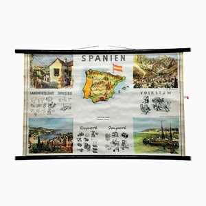
Spain Landscape Culture Souvenir Rollable Map Poster Wall Chart
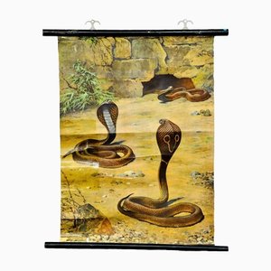
Scenery with Cobras Snake Poster Print Pull-Down Wall Chart
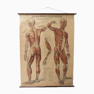
Vintage Swedish Anatomical Medical Wall Hanging
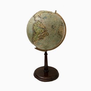
Italian Globe from The Ground
Vintage School Board "Muscle of Man", Germany, 1950s
Educational Pull Down Biology Chart by Jung Koch Quentell, Germany, 1969

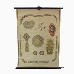
Vintage Educational Tapeworm Anatomy Chart, 1930s
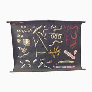
Vintage Educational Bacteria Chart, 1930s
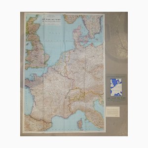
Opera Cartographic Mirabile Card from North Sea to the Mediterranean and Ethnographic Europe from C. T. I. Milan, Italy, 1939, Set of 3
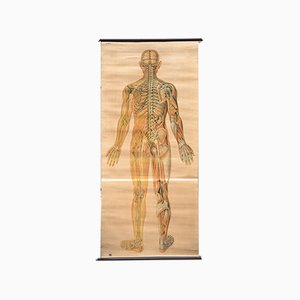
Anatomical Chart from the German Hygiene Museum, Dresden, Germany, 1950s
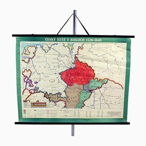
Vintage School Map of Czech State, Czechoslovakia, 1960s
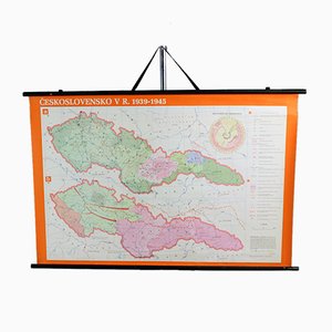
Vintage School Map of Czechoslovakia in 1939 1945, 1960s
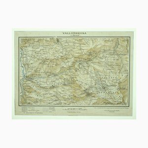
Unknown - Map of Vallombrosa - Florence 1926
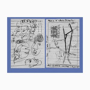
Alberto Moravia, Ticket Map, Letters With Sketches, 1956
Vintage School Europe Wall Map by Leisering & Schulze for Velhagen, 1950s

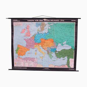
Large School Teaching Map on Contemporary History from Flemming Verlag Hamburg, 1950s
School Teaching World Map of the 19th Century from Velhagen & Klosing, 1961
School Teaching Map by Prof. Dr. W. Trillmich for Westermann Landkarten, 1950s
School Teaching Map of the USA from Justus Perthes Darmstadt, 1960s
School Teaching Map by Dr. Grummann for Gambke Berlin, 1960s
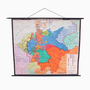
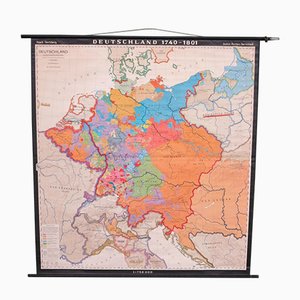
School Teaching Map of Germany from Flemming Verlag, 1950s
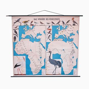
School Teaching Map of Birds from Verlag Jaeger Darmstadt, 1950s
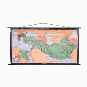
School Teaching Map by Prof. Dr. Lauffer for Justus Perthos Darmstadt, 1950s
School Teaching Map of Warschow München, 1950s
School Teaching Map of North Africa from Westermann Verlag, 1950s

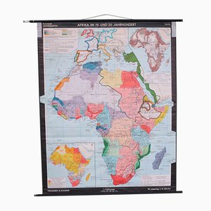
School Wall Map of Africa by Leisering & Schulze for Velhagen & Klasing, 1950s
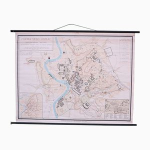
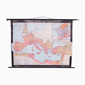
School Wall Map of Old Rome from Instituto Geografico de Agostini Nora, 1950s
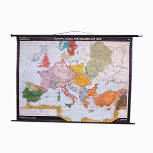
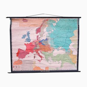
School Wall Map of Europe by W. Leisering for Velhagen & Klasing, 1950s
School Wall Map of Europe by Prof. Dr. Schmidt for Perthas Gotha, 1950s
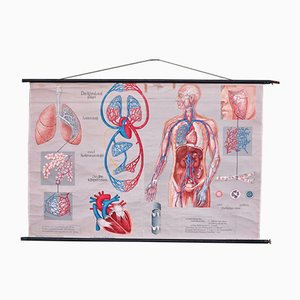
School Wall Map of the Human Body by Prof. Dr. med. W. Blotevogel for Hagemann Düsseldorf, 1950s
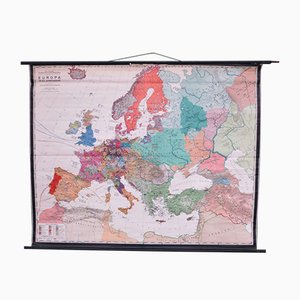
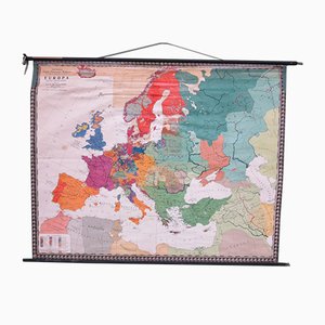
School Wall Map of Europe from Velhagen & Klasing, 1950s
School Wall Map of Germany by Haach Hertzburg for Perthes Darmstadt, 1950s
School Wall Map of Central Europe by Dr. W. Trillmich for Westermann Verlag, 1960s

School Wall Map of Europe by Prof. Dr. M. G. Schmidt for Perthas Gotha, 1950s
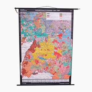
School Wall Map of South West Germany by Putzger for Velhagen & Klasing, 1950s
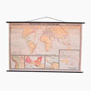
School Wall World Map by Haferland & Trillmich for Westermann, 1950s
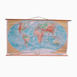
Vintage College World Map by Perthes Darmstadt, 1950s
School Wall Map of the Roman Empire by Putzger for Velhagen & Klasing, 1950s
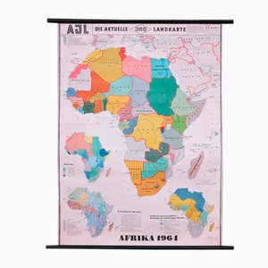
School Wall Map of Africa by Dr. E. Kremling for JRO, 1964
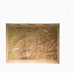
Vintage Geographical Map of Switzerland, 1930s
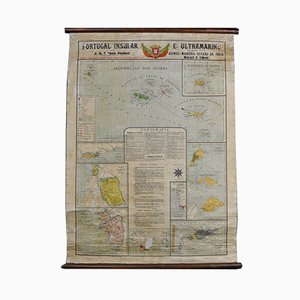
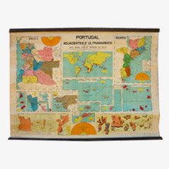
Map of Portugal and Overseas, 1960s
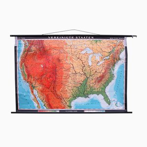
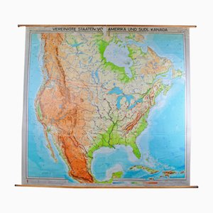
Map of United States by Georg Westermann, 1966
Vintage Relief Globe from Vallardi
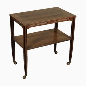
Italian Rosewood Veneer Service Cart, 1960s
Vintage Slate Globe from Räths

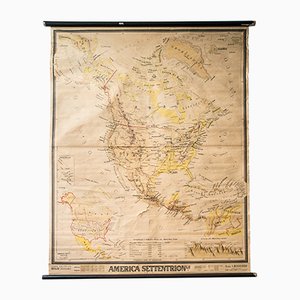
Mid-Century French Geographical America Map
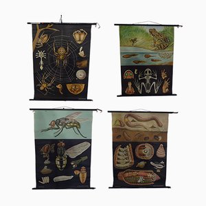
Austrian Educational Charts from Jung, Koch & Quentell, 1960s, Set of 4
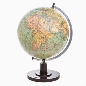
German Art Deco Globe from Columbus Verlag, 1941
Vintage Map of Hamburg by Dr. Riediger for Verlag JEHA Lehrmittelanstalt, 1960s
Vintage Portugal School Map, 1940s
Trending